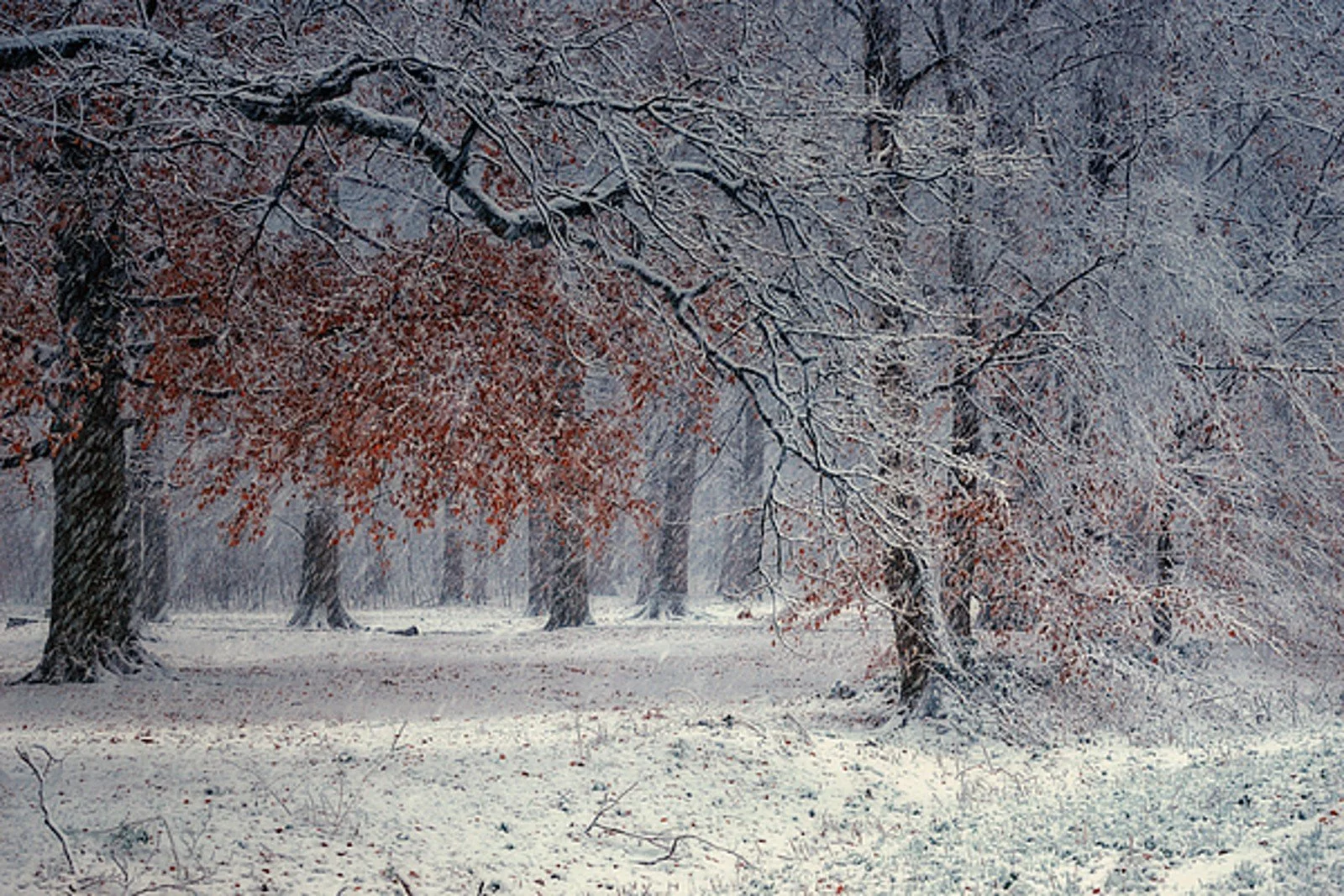
First snow, maybe.
By Mara Quinn | November 9, 2026
First Snow on the Horizon, With a Lot of Uncertainty Attached
The first snow of the season may arrive in the Hudson Valley next weekend. It may not. That is exactly where forecasters stood Saturday, four to five days before a possible coastal storm that two major weather models flagged as a real, if unlikely, possibility.
A Hudson Valley Post report published Saturday via 94.3 Lite FM cited First Due Weather, an Orange County-based forecast service, noting that both the American GFS model and the European model picked up on a coastal storm targeting the Friday-Saturday window of November 13-14. The models disagree on track, timing, and where precipitation would actually fall. That disagreement matters.
Meteorologist Ben Noll put numbers to the uncertainty in a November 8 update. He called the scenario "more than just a rumor" but assigned low odds to meaningful snowfall. His watch window runs Thursday through Saturday. As of his update, the storm had not yet formed. Forecasters were still waiting for the pieces to converge, something Noll said would not happen until late Wednesday over the North Pacific.
The mid-Hudson Valley has a 20% chance of seeing an inch of snow on Friday, according to Noll. He described his Friday forecast as "cooler with rain possible and a slight chance for wet snow." He was direct about the limits: "we are a long way from a snow day."
Track Will Determine Everything
Where the storm goes matters as much as whether it forms.
If the system follows a coastal track, areas along the shore could see mostly rain. The colder air that supports snow sits inland and at higher terrain. That positioning gives the Hudson Valley, the Catskills, and other elevated areas a better shot at accumulation than coastal communities. Early-season storms generally favor snowfall in higher terrain because those areas sit farther from the warm Atlantic Ocean, which tends to strip snow from storms that run close to the coast.
No snowfall totals are on the table yet. It is too early for that kind of specificity. Forecasters can confirm a colder pattern arriving regardless: a Canadian air mass pushes through this week, bringing blustery winds through Friday and into next weekend. If the storm misses or falls apart, Noll sees a milder and drier trend setting up for the week of November 16.
NOAA's Winter Outlook Points Warm and Wet for the Hudson Valley
The near-term uncertainty arrives against a clearer seasonal signal. NOAA's Climate Prediction Center released its December 2026-February 2027 winter outlook, and a very strong El Nino is driving it.
Ken Graham, director of NOAA's National Weather Service, explained the mechanism. "A very strong El Nino will likely bring a southward and eastward shift to the jet stream," he said, "which tilts the odds toward stormier weather across the South."
For New York, that jet stream shift translates into warmer-than-normal temperatures statewide. NOAA puts the probability of above-normal temperatures at 50 to 60 percent across the state. For the Hudson Valley, the Capital Region, the Catskills, and New York City, the outlook also calls for an increased chance of above-normal precipitation. NOAA puts that at 33 to 50 percent above normal for most of eastern New York. Southeastern New York, the lower Hudson Valley, and New York City see 40 to 50 percent odds of above-normal precipitation. Western, central, and northern New York, along with parts of the Adirondacks, fall into the equal-chances category for precipitation.
Warmer Does Not Mean Snow-Free
NOAA is careful about what that outlook does and does not say. The agency cannot specify whether above-normal precipitation falls as rain, snow, or ice. It also cannot predict individual storms months ahead. A warmer-than-normal winter is not a snow-free winter.
Jon Gottschalck of NOAA offered additional context. A strong El Nino tends to support a stronger, more stable polar vortex. That makes Arctic air outbreaks less likely. Less likely is not impossible. Cold air intrusions can still happen, and when they do, any precipitation on the calendar could fall as snow.
AccuWeather, separately, expects New York to run warmer and potentially less snowy than average this winter. That expectation aligns with NOAA's temperature signal.
What to Watch For
The first snow of the season has not been forecast. It is on the table. That is a meaningful difference.
Residents watching for it have roughly the same information forecasters do: a possible storm, low confidence, and a 20% shot at an inch of snow in the mid-Hudson Valley. The storm still needs to form. The track still needs to cooperate.
The near-term certainty is cold. Canadian air pushes through this week. Blustery conditions arrive Friday and persist into next weekend, snow or no snow. If the storm breaks the wrong way, the following week brings relief. Milder and drier conditions begin around November 16.
The longer picture is a warm, wet winter driven by El Nino. Warmer does not mean snow-free. It does mean the odds tilt toward rain when storms arrive, with higher terrain holding the best chances for anything that sticks.