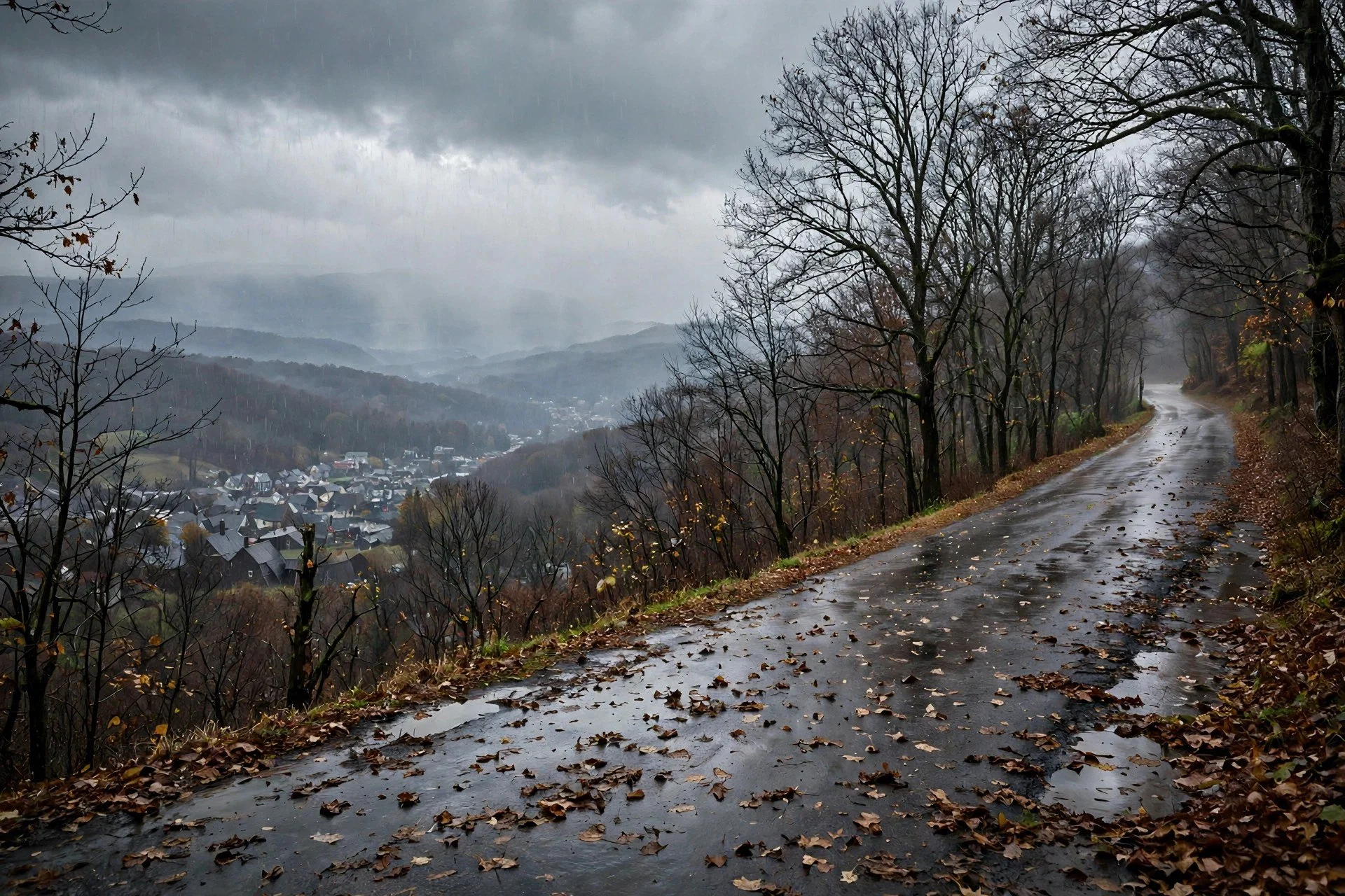
Rain over a Hudson Valley town.
By Mara Quinn | November 10, 2026
The forecast for the Hudson Valley's first snow of the season has narrowed. Sunday's outlook kept next weekend's snow on the table. Monday's National Weather Service zone products spelled out the sequence: rain-dominant through most of the week, with a rain-to-snow changeover possible overnight Wednesday and again near Friday. The best odds are confined to higher elevations.
NWS Albany Puts Snow Language in the Zone Products
The National Weather Service Albany issued its zone forecast product at 1:30 p.m. EST Monday. For some eastern New York zones, Wednesday night reads mostly cloudy with a chance of snow after midnight, lows in the mid-20s, and a 30 percent snow chance. Thursday and Thursday night carry rain and snow chances, with highs in the mid-40s.
Friday into Saturday shifts the focus higher. Those zones see a 40 percent snow chance and highs in the upper 30s.
The eastern Albany zone adds specifics for Thursday night: rain likely, then snow likely after midnight, with little or no accumulation expected and a 60 percent precipitation chance. Friday morning carries a snow chance before rain returns. For Albany-area zones at lower elevations, Thursday night closes with little or no accumulation, the NWS product said.
Kingston Forecast: Rain Governs the Week
Weather.com's Kingston ten-day, checked Monday, shows Tuesday at 62 degrees, Wednesday at 62 with late showers. Thursday is the heaviest rain day: 0.64 inches during the day and 0.56 inches overnight. Friday drops to a high of 42, still with rain. Saturday returns to 44 and cloudy. Sunday reaches 47 and partly cloudy.
The Kingston pattern fits the broader picture the Democrat and Chronicle outlined on November 8. A clipper-type system is expected to move from the Ohio Valley Wednesday into Thursday, then help organize a coastal storm by Friday. The D&C reported that the NWS is monitoring the late-week system for measurable snow in higher elevations of central and eastern New York, the Adirondacks and Catskills among them, while lower elevations and coastal areas lean toward rain.
Track and Timing Remain Uncertain
The D&C was direct on uncertainty: considerable uncertainty remains on track and strength. No major statewide snowstorm is supported by current guidance. Projections are too early to be reliable. Small track changes will decide who sees snow versus rain. The D&C's November 8 roundup described the coastal low as a second-stage development after the clipper passes. The coastal low's eventual position will carry the most weight for rain-snow line placement across the mid-Hudson Valley.
Ben Noll's Odds and the Model Split
Meteorologist Ben Noll put a number on the question on November 8: a 1-in-5, or 20 percent, chance of an inch of snow in the mid-Hudson Valley on Friday. He placed the storm window from late Thursday to early Saturday.
Noll said model guidance was still assembling over the North Pacific as of his November 8 post, with convergence expected by late Wednesday. He also noted that the week of November 16 trends milder and drier, which would close the near-term first-snow window for the region.
First Due Weather, cited by Hudson Valley Country on November 8, confirmed the split on the models. GFS and European solutions both show a coastal storm developing Friday, November 13 into Saturday, November 14. The two disagree on track, timing, and where precipitation falls. Coastal areas lean toward mostly rain. Colder inland air could support snow in parts of the Hudson Valley. Snowfall totals were too early to project as of that report.
Dutchess County: Lean Toward Rain
No active weather alerts were posted for Dutchess County as of Monday. Clinton Corners was at 58 degrees and mostly sunny Tuesday. Poughkeepsie's forecast called for 61.
For Dutchess County, the zone products and model guidance point in the same direction: rain is the more likely outcome through the main event. Any snow would arrive in a narrow window, overnight Wednesday into Thursday morning or near Friday morning, and little or no accumulation is expected at valley-floor elevations. The Adirondacks and Catskills carry the best odds for measurable snow, with the Hudson Valley sitting in the middle ground where the final storm track will make the call. That framing, from both the NWS zone products and the D&C reporting, has not shifted since Sunday.
What to Watch Before Friday
Model guidance should begin to settle by late Wednesday, when Noll said the GFS and European solutions converge. A modest northward track shift could push the rain-snow line across much of the Hudson Valley. A southward shift keeps measurable snow in higher terrain and delivers rain below.
The window between Wednesday night and Friday morning is the one to watch. After that window closes, the week of November 16 is forecast to trend milder and drier, according to Noll's November 8 guidance.
RFTUV will update the forecast as Wednesday model runs come in. This story follows RFTUV's November 9 report on first-snow potential for the region.