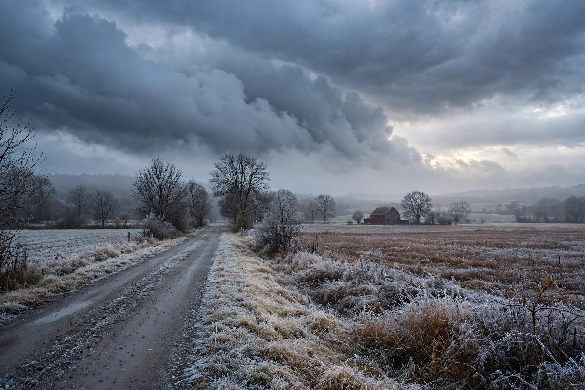
The pattern fight, over a frosted field.
By Mara Quinn | November 14, 2026
A Gray Saturday and a Bigger Question
Saturday arrives gray and cold across Dutchess County. That is not a complaint - it is a data point. And right now, that data point matters, because the forecast fight shaping Thanksgiving has not been decided.
Hudson Valley Post reported Thursday on the central question for the holiday: will a polar vortex or an El Nino pattern control conditions across the region? The two forces pull hard against each other. A dominant polar vortex drives deep cold south and holds it in place. An El Nino signal tends to moderate temperatures and push storm tracks away from the Northeast. When both patterns compete actively, forecasters do not guess - they wait.
The Hudson Valley sits exactly there heading into this week. Saturday is the opening chapter. It does not predict Thanksgiving. But it shows the atmosphere's current lean: cold, gray, and not in a hurry to change.
Saturday's Numbers: Clinton Corners, Poughkeepsie, Beacon
The National Weather Service today gives a consistent picture across Dutchess County - cold nights, mostly cloudy days, with a few patches of partly sunny sky.
In Clinton Corners, the overnight low hits 29 degrees under mostly cloudy skies. The Saturday afternoon high reaches 41 degrees, again mostly cloudy. No sunshine break.
Poughkeepsie sits a few degrees warmer. The overnight low comes in at 31 degrees with mostly cloudy skies. Saturday afternoon climbs to 44 degrees with partly sunny conditions. A bit more light than Clinton Corners, but the afternoon still runs cold.
Beacon tracks close to Poughkeepsie. The overnight low is 32 degrees under mostly cloudy skies. The Saturday high reaches 43 degrees with partly sunny skies.
No active weather alerts are in place for Dutchess County.
The Regional Picture: Raw, Windy, With a Snow Signal
The local numbers fit the broader regional read. ABC7 New York reported Thursday on raw, windy conditions across the area and flagged a snow signal worth watching in the period ahead.
A Saturday in the low-to-mid 40s with significant cloud cover is not a severe weather event. Nothing in today's forecast is dramatic. But a gray, raw day across Dutchess County is exactly the kind of condition a polar vortex pattern generates. If the vortex wins the larger fight, days like today become the baseline, not the exception.
Whether that happens depends on how the two patterns resolve.
The Wait Before the Holiday
Hudson Valley Post laid out the stakes on Friday: the outcome of the polar vortex versus El Nino fight will shape what Thanksgiving week looks like for the Hudson Valley - a deep November cold snap or a more moderate, late-fall close-out.
That question has not resolved. Forecast confidence at this range remains low. The only honest call right now is to watch as the models update and the pattern firms up.
Check the National Weather Service and Dutchess County emergency management for any alerts. When forecasters have a confident read, the numbers will show it. Until then, Saturday tells you everything this week is willing to say.